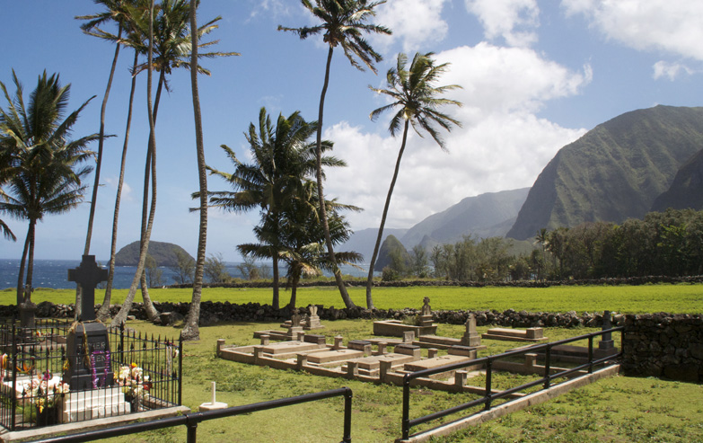
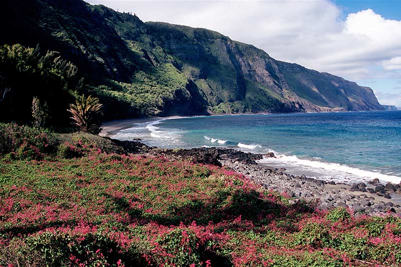
Kalaupapa Leprosy Settlement and National Historical Park
Coterminous with the boundaries of Kalawao County and primarily on Kalaupapa peninsula, it was established by Congress in 1980 to expand upon the earlier National Historic Landmark site of the Kalaupapa Leper Settlement. The goal is to preserve the cultural and physical settings of the two leper colonies on the island of Molokaʻi, which operated from 1866 to 1969 and had a total of 8500 residents over the decades.
Halawa Beach Park
Comprised of two equally beautiful beaches, Kama’alaea Beach to the west and Kawili Beach to the east, Halawa Beach Park is located in Halawa Bay on Molokai’s east shore. Legend has it that several hundred years ago, the Molokai chiefs enjoyed surfing at Halawa Beach.
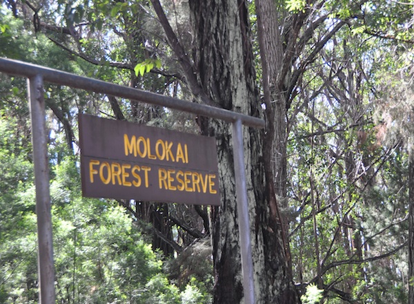
Molokai Forest Reserve
Established by the Governor’s Proclamation in 1912 to protect and permanently maintain mountain forests to ensure the continued regular stream flow and water resources. The Reserve is spread across east Moloka’i and is currently comprised of several non-contiguous areas totaling 11,690 acres of public land. The western sections are generally drier and more accessible, while eastern sections are generally wetter, more mountainous, and contain higher quality native ecosystems. Several exotic timber plantations exist in western sections of the Reserve. Infrastructure consists primarily of Na Ala Hele trails, rough roads, and a picnic area with a basic campsite. Public hunting of birds and mammals is allowed in the Reserve.
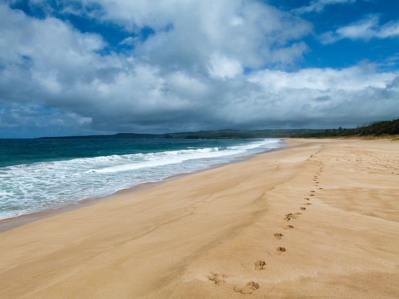
Papohaku Beach Park
Also known as Three Mile Beach, it extends down Molokai’s west end. It is also one of Hawaii’s largest white sand beaches at about 100 yards wide. Over the Kaiwi Channel past Diamond Head, is Waikiki, which actually took sand from Papohaku years ago to help build up its own shores.
Palaau State Park
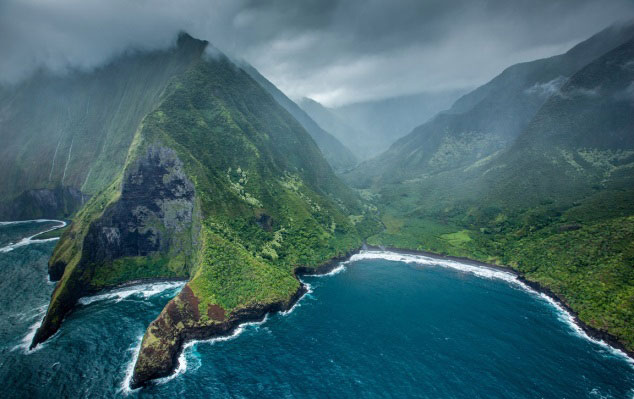
233-acre park with a short trail that leads to a phallic stone thought to enhance fertility. Another path through the ironwood forest leads to Kalaupapa Lookout, which offers a view of Kalalupapa from 1000-feet up. Kalalupapa was once a place where people with leprosy were forced to live.
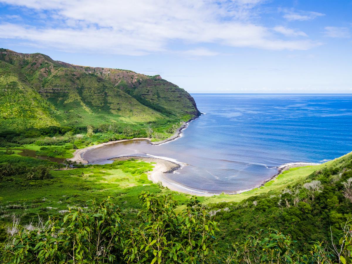
Pelekunu Preserve
In 1986, the Conservancy purchased Pelekunu Valley from Moloka’i Ranch to create this nearly 5,800 acre preserve on Molokai’s rugged northern coast. Flanked by the highest sea cliffs in the world, which rise 3,000 feet above sea level, Pelekunu Valley is also protected by strong seasonal surf, making access very difficult. Pelekunu Stream contains nearly all of Hawaii’s native aquatic fauna, including the rare hihiwai (a native freshwater snail) and five fish species collectively referred to as ‘o’opu.
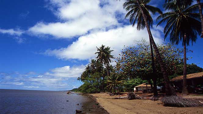
Kiowea Beach Park
Located right next to a well-known coconut grove, known as Kapuaiwa or Kamehameha Coconut Grove, on Molokai’s south shore. It is named in honor of the high chief Kapuaiwa (also known as King Kamehameha V). It is said that either he himself planted the coconuts in this grove, or that the trees were planted by his agent and ranch manager, Rudolph W. Meyer.
The beach itself is narrow and composed of detrital sand. The ocean bottom is rocky, shallow and the water murky, so the swimming conditions are, unfortunately, poor.
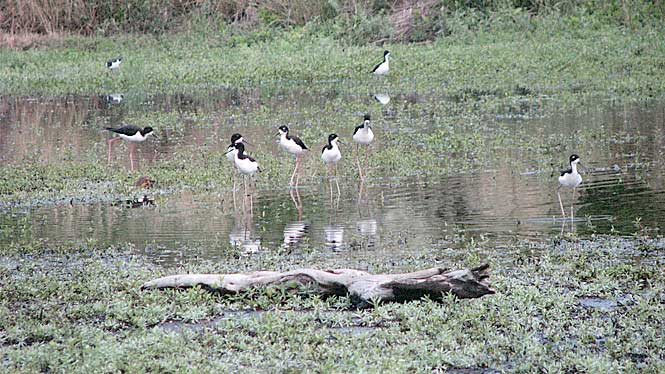
Kakahaia National Wildlife Refuge
Established in 1977 to permanently protect wetland habitat for endangered endemic waterbirds and wintering migratory wetland birds and to maintain the structural integrity of an ancient Hawaiian fishpond. The 44-acre refuge is located along the south coast of the island. It contains a 15-acre coastal freshwater marsh, a remnant of an ancient Hawaiian fishpond. The spring-fed pond lies on a narrow plain just above sea level at the foot of volcanic hills. An additional 5.5-acre managed impoundment constructed in 1983 provides shallow-water habitat for wading birds. The refuge is home to 12 known species of birds, including the endangered Hawaiian stilt and Hawaiian coot. Migratory ducks, and shorebirds, as well as invasive mammals such as feral cats, dogs, mongooses, and axis deer, are also present on the refuge.